Hiking Near Mardin 2026: Tur Abdin Plateau, Monastery Trails and Dara Walks
Book an experience
Things to do here
The top-rated tours and activities here — all with instant confirmation and free cancellation on most bookings.
Mardin is not primarily a hiking destination — the appeal is architectural and cultural rather than mountain. However, the Tur Abdin plateau above the city provides genuinely interesting walking territory: open limestone plateau, ancient monastery sites, and the specific landscape of the Mesopotamian edge where the plateau drops to the plain 300m below.
The walking in this region is best understood as landscape and heritage walking rather than mountain hiking — distances are manageable, terrain is open plateau, and the interest is as much historical as physical.
Deyrulzafaran Monastery to Old City trail
Distance: 5km (one-way); 3km uphill from monastery to city.
Character: A walking track from the monastery site to the old city ridge — through scrub oak, olive groves, and rocky limestone terrain. The trail climbs from the monastery level (875m) to the old city ridge (1,050m).
Duration: 1.5–2 hours one-way. Return by taxi from the city (₺60–80).
Difficulty: Moderate — the climb is steady; the path is uneven in places.
Best time: Morning for the monastery visit (opens 08:30) then walking up; early spring for wildflowers on the plateau scrub.
Old city ridge walk
Character: Walking the length of Birinci Cadde and the side streets of the old city — 3–4km at ridge level, with views north to the plateau and south across the Mesopotamian plain.
Duration: 1.5–2.5 hours for the full old city.
Difficulty: Easy — paved streets throughout, though some are steep.
Best time: Evening (16:00–19:00) for the best light on the stone and the plain view at dusk.
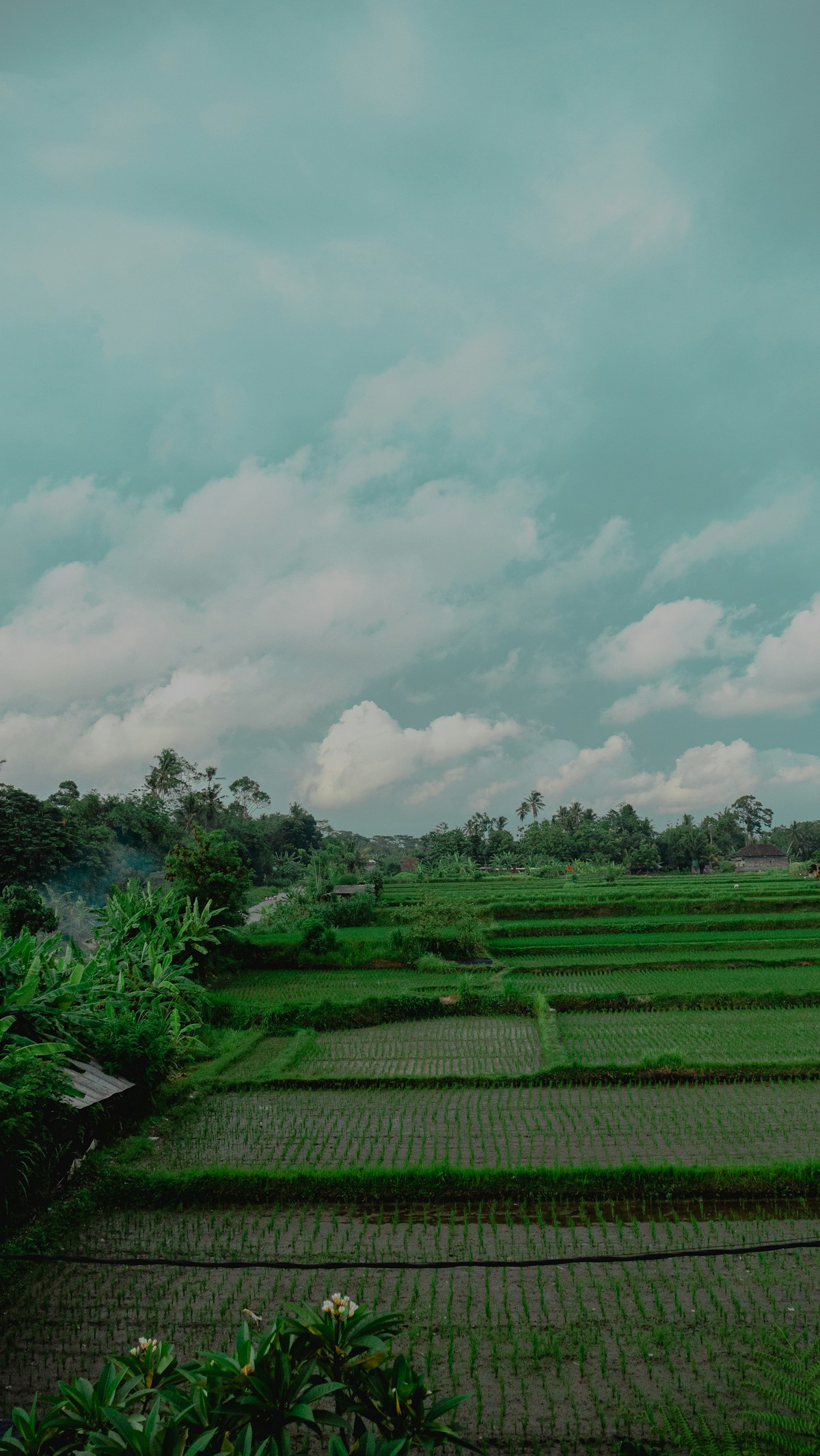
Tur Abdin plateau walks (above the city)
The Tur Abdin plateau rises above the city to the north — open limestone terrain with scattered villages, ancient olive groves, and the occasional rock-cut tomb or monastic ruin.
Access: Walk uphill from the old city’s northern edge (20–30 minutes), or taxi to the plateau road.
Character: Open plateau; dry grass and limestone; long views in all directions. The plateau edge looking south gives the same Mesopotamian plain view as the city but from 100–200m higher.
Routes: Unmarked; follow the plateau roads and tracks. 5–12km circuits depending on how far you go; 2–4 hours.
Difficulty: Easy to moderate — the terrain is open but uneven limestone.
Dara ancient city walk
Location: 30km southeast; the ancient Byzantine city with underground cisterns and walls.
The Dara site circuit: walking the surviving city walls, exploring the necropolis (rock-cut tomb area), and descending into the underground cisterns. The site covers approximately 2–3km of walkable area; 2–3 hours.
Access: Car from Mardin (30 minutes); taxi with waiting time (₺150–250).
Difficulty: Easy — flat site, but the cistern descent requires care.
The Tigris valley (Dicle)
Distance: 30km south of Mardin.
The Tigris River valley and the irrigated agricultural land below the Mardin ridge — a landscape of flat fields, river bends, and the occasional castle ruin. Road cycling or driving is more practical than walking here; the distances are too long for comfortable day walking without transport.
Practical notes
Heat: Summer (July–August) in the Mardin region is extreme — 40–45°C on the plain; 35–40°C on the plateau. Walking in summer is morning only (before 09:00) or evening (after 17:00). Spring and autumn are the hiking seasons.
Water: The plateau is dry — carry water for any walk over 1.5 hours.
Snakes: Southeastern Turkey’s limestone plateau has venomous snakes (particularly in summer). Wear closed shoes; watch where you step; don’t reach into rock crevices.
Navigation: The Tur Abdin plateau has few marked trails. For longer walks, go with a local guide or stay on visible paths. The monastery to old city trail is well-enough used to be followable.
Day walk summary from Mardin
| Route | Distance | Duration | Difficulty | Notes |
|---|---|---|---|---|
| Old city ridge walk | 3–4km | 1.5–2.5 hrs | Easy | Birinci Cadde and side streets |
| Monastery to city trail | 5km | 1.5–2 hrs | Moderate | One-way; taxi back |
| Tur Abdin plateau | 5–12km | 2–4 hrs | Easy–moderate | Unmarked; open terrain |
| Dara site circuit | 2–3km | 2–3 hrs | Easy | 30km; car needed |
Ready to explore?
Browse hundreds of tours and activities. Book securely with free cancellation on most options.
Browse on GetYourGuide →We may earn a small commission — at no extra cost to you.