History of Marmaris: Carian Coast, Ottoman Fort and Modern Resort
Book an experience
Things to do here
The top-rated tours and activities here — all with instant confirmation and free cancellation on most bookings.
Marmaris sits at the head of one of the Aegean’s most distinctive natural harbours — a deeply indented fjord-like bay, almost completely enclosed by pine-covered peninsulas and offshore islands. This geography has determined the town’s history: the bay provided shelter for ancient Carian traders, a staging point for one of history’s most significant Ottoman military campaigns, and eventually the setting for a mass-tourism resort development that transformed a small fishing town into one of Turkey’s best-known coastal destinations.
The modern resort obliterates most of the historic evidence, but the castle on the harbour rock survives. So does the fish market, the bazaar pattern, and the underlying geography that made Marmaris significant before the package tour.
The Carian Coast
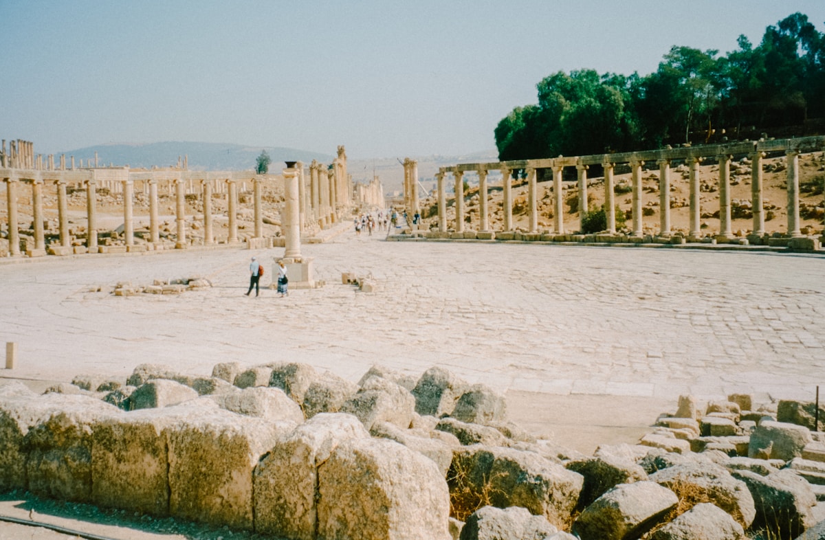
The Marmaris area was part of ancient Caria — the coastal region of southwestern Anatolia whose native Carian people established a distinct culture before being absorbed into successive empires. The Carians were neither Greek nor Persian in origin, though they absorbed Greek culture extensively and were subordinate to Persian rule from the 6th century BCE.
Physkos: The ancient settlement near modern Marmaris was known as Physkos — a minor port town on the Carian coast. The location was strategically significant as a sheltered anchorage on the sailing route between Rhodes and the Greek cities of Ionia to the north, but Physkos itself was never a major Carian city.
Carian cities nearby: The significant Carian urban centres were Halicarnassus (modern Bodrum, 120km north), the site of the Mausoleum — one of the Seven Wonders of the Ancient World — and Caunus, Telmessos (Fethiye), and the cities of the Xanthos valley further east. The Marmaris area was peripheral to these centres.
Greek presence: Greek colonists established presence along the Carian coast from the 8th century BCE. The rocky islands at the entrance to the Marmaris bay are visible on ancient sea charts as waypoints on the Rhodes-to-Ionia coastal route.
Hellenistic and Roman Period
Alexander the Great swept through Caria in 334 BCE, dismantling Persian power and accelerating the Hellenisation of the coast. The Marmaris bay would have been used as an anchorage point on Alexander’s coastal campaign, though no significant engagement was fought here.
Rhodes connection: The island of Rhodes (50km south, visible from the Marmaris hills on clear days) was the dominant naval and commercial power of the eastern Mediterranean from the Hellenistic period through the Roman era. The Marmaris bay served as a provisioning and shelter point on the Rhodes trade network. Rhodian amphorae have been found throughout the Marmaris area.
Roman Lycia: Roman reorganisation of the southwestern Anatolian coast into the province of Lycia-Pamphylia integrated the Marmaris area into a stable administrative framework. The Via Sebaste and other Roman roads connected the coast to the interior. The town of Physkos continued as a minor coastal settlement.
Byzantine Period
After the division of the Roman Empire in 395 CE, the Marmaris area fell within the Eastern Roman (Byzantine) Empire and remained Byzantine territory for the next millennium.
Strategic importance: The bay served as a Byzantine naval station on the Aegean coastline. Control of the enclosed harbour was important for preventing piracy and maintaining Byzantine naval presence on the route between Constantinople and the Levantine coast.
Arab raids: From the 7th century CE, Arab naval forces launched periodic raids along the Aegean coast. The enclosed Marmaris bay, with its limited entrance, provided better shelter against raids than open coastal towns.
Decline: The progressive weakening of Byzantine control over Anatolia, accelerated by the Seljuk victory at Manzikert (1071 CE), left the Marmaris coast in a contested zone between Byzantine coastal control and Turkish interior expansion.
Seljuk and Beylik Period
The Anatolian interior fell under Seljuk Turkish control during the 11th–13th centuries, while the Aegean and Mediterranean coasts remained contested. The Marmaris area passed between Byzantine, Seljuk, and smaller Turkish Beylik (principality) control through the 12th–14th centuries.
Menteşe Beyliği: After the Mongol disruption of the Seljuk Sultanate in the 1240s, the Muğla coastline — including the Marmaris area — fell under the control of the Menteşe Beyliği, a Turkish principality that ruled the region from roughly 1260 to 1390. The Menteşe Beys controlled the trade routes between the Aegean coast and the Anatolian interior and taxed the sea traffic through the bay.
Early Ottoman incorporation: The Ottoman Empire absorbed the Beylik territories progressively in the late 14th and early 15th centuries. Marmaris and the Muğla coast came under Ottoman control during this period.
Suleiman and the Rhodes Campaign (1522)
The event that gave Marmaris its place in Ottoman history occurred in 1522 — when Sultan Suleiman the Magnificent used the Marmaris bay as the staging and assembly point for his campaign to capture the island of Rhodes from the Knights of St. John.
The Knights of St. John: The Knights Hospitaller had controlled Rhodes since 1309, operating a powerful naval fortress that disrupted Ottoman sea lanes and protected the approaches to the eastern Mediterranean. Suleiman’s predecessor Mehmed II had attempted to take Rhodes in 1480 and failed. Suleiman intended to succeed.
The assembly at Marmaris (1522): Suleiman assembled an enormous force at Marmaris — estimates range from 100,000 to 200,000 troops, with 400 ships. The enclosed bay provided the sheltered anchorage necessary to assemble and supply an invasion fleet of this scale. The campaign departed from Marmaris in June 1522.
The Castle: Suleiman ordered a castle built at Marmaris to command the bay’s entrance during the assembly period — both for defensive purposes and as a signal of Ottoman permanent control of the harbour. The original fortification was constructed rapidly to serve the 1522 campaign.
Fall of Rhodes (December 1522): The Knights surrendered Rhodes after a six-month siege. Suleiman, reportedly impressed by the defenders’ resistance, allowed the surviving Knights to depart for Malta. The Marmaris bay was the departure point for one of the most significant Ottoman military victories of the 16th century.
The Castle of Marmaris
The castle that stands today above the Marmaris harbour is a reconstruction and rebuilding of the 1522 Suleiman fortification. The original castle was damaged by earthquake and rebuilt in 1794 under the Ottoman administration of the period.
Architecture: The castle is a compact hexagonal fort — not a large fortress but a harbour command post. The walls are built from cut limestone; the interior courtyard now houses a small museum.
Museum: The Marmaris Castle Museum contains archaeological finds from the Marmaris area (Carian pottery, Byzantine coins, Ottoman weapons), natural history of the Muğla coast, and a section on the Carian sea trade. Entry: ₺100.
Location: The castle sits on a rocky promontory jutting into the harbour — the same natural rock platform that made it strategically obvious for every power that controlled the bay.
Ottoman Marmaris
After the 1522 campaign, Marmaris settled into its role as a minor provincial Ottoman harbour town. The bazaar developed below the castle; the fish market operated at the waterfront. The population was a mixed community of Turkish Muslims, Greek Orthodox traders, and Jewish merchants (a small community similar to those in Bodrum and other Aegean ports).
Population exchange (1923): Following the collapse of the Ottoman Empire and the Greek-Turkish War, the 1923 Lausanne Treaty’s population exchange removed the Greek Orthodox community from Marmaris (as from all Aegean coastal towns) and replaced them with Muslim Turkish refugees from Greece. The exchange transformed the demographic character of the town in a single year.
Sponge fishing: Between the wars and into the 1950s, Marmaris was a sponge-fishing centre — the Aegean coastal towns sent boats to harvest sponges from the sea floor. The sponge trade was an important part of Bodrum’s economy during the same period.
The 1958 Earthquake
A significant earthquake struck the Marmaris area in 1958 — destroying much of the old town that had developed below the castle over the Ottoman centuries. The earthquake was economically devastating for what was then a small fishing town of several thousand people.
Rebuilding: The town was rebuilt in the 1960s and 1970s in the utilitarian concrete construction style of the period. The rebuilt town had little architectural character — which paradoxically made its rapid conversion into a resort easier, since there was little historic fabric to preserve.
Tourism Development (1970s–present)
The transformation of Marmaris from fishing town to mass-tourism resort occurred primarily between 1975 and 2000 — following the same trajectory as Bodrum and Kuşadası, but at larger scale.
Marina development: The construction of a major yacht marina in Marmaris in the 1980s established the town as a yachting centre. The marina infrastructure attracted the charter yacht industry, which remains significant.
Package tourism: British and German tour operators began including Marmaris in package holiday programmes in the 1980s. The combination of sandy beaches at Içmeler, the marina, and the sheltered bay made it marketable. Hotel construction followed the tourism demand.
Bar Street: The Haci Mustafa Sokak — now universally known as Bar Street — developed progressively as the nightlife infrastructure to serve the growing young European tourist population. By the 2000s, Bar Street had become one of Turkey’s most famous (and loudest) nightlife concentrations.
Scale today: Marmaris and its immediate area (Içmeler, Armutalan) receive several hundred thousand tourists per year — predominantly British, German, and Eastern European package tourists. It is the largest single package-tourism destination on the Turkish Aegean coast.
Historical timeline
| Period | Event |
|---|---|
| c. 500 BCE | Ancient Physkos — minor Carian coastal port |
| 334 BCE | Alexander the Great passes through Caria |
| 1309 | Knights of St. John take control of Rhodes |
| 1522 | Suleiman assembles 400-ship fleet at Marmaris for Rhodes campaign |
| December 1522 | Fall of Rhodes — Knights expelled |
| 1794 | Castle rebuilt in current form |
| 1923 | Population exchange — Greek community departs |
| 1958 | Earthquake destroys old town |
| 1980s | Marina constructed; yachting industry established |
| 1980s–90s | Package tourism development — Içmeler hotels built |
| 2000s | Bar Street consolidation as major nightlife destination |
For the layout of the modern town, see where to stay in Marmaris. For how the historical setting connects to today’s experience, see things to do in Marmaris.
Ready to explore?
Browse hundreds of tours and activities. Book securely with free cancellation on most options.
Browse on GetYourGuide →We may earn a small commission — at no extra cost to you.