Hiking Near Ankara 2026: Gordion, Kızılcahamam and Plateau Day Trips
Book an experience
Things to do here
The top-rated tours and activities here — all with instant confirmation and free cancellation on most bookings.
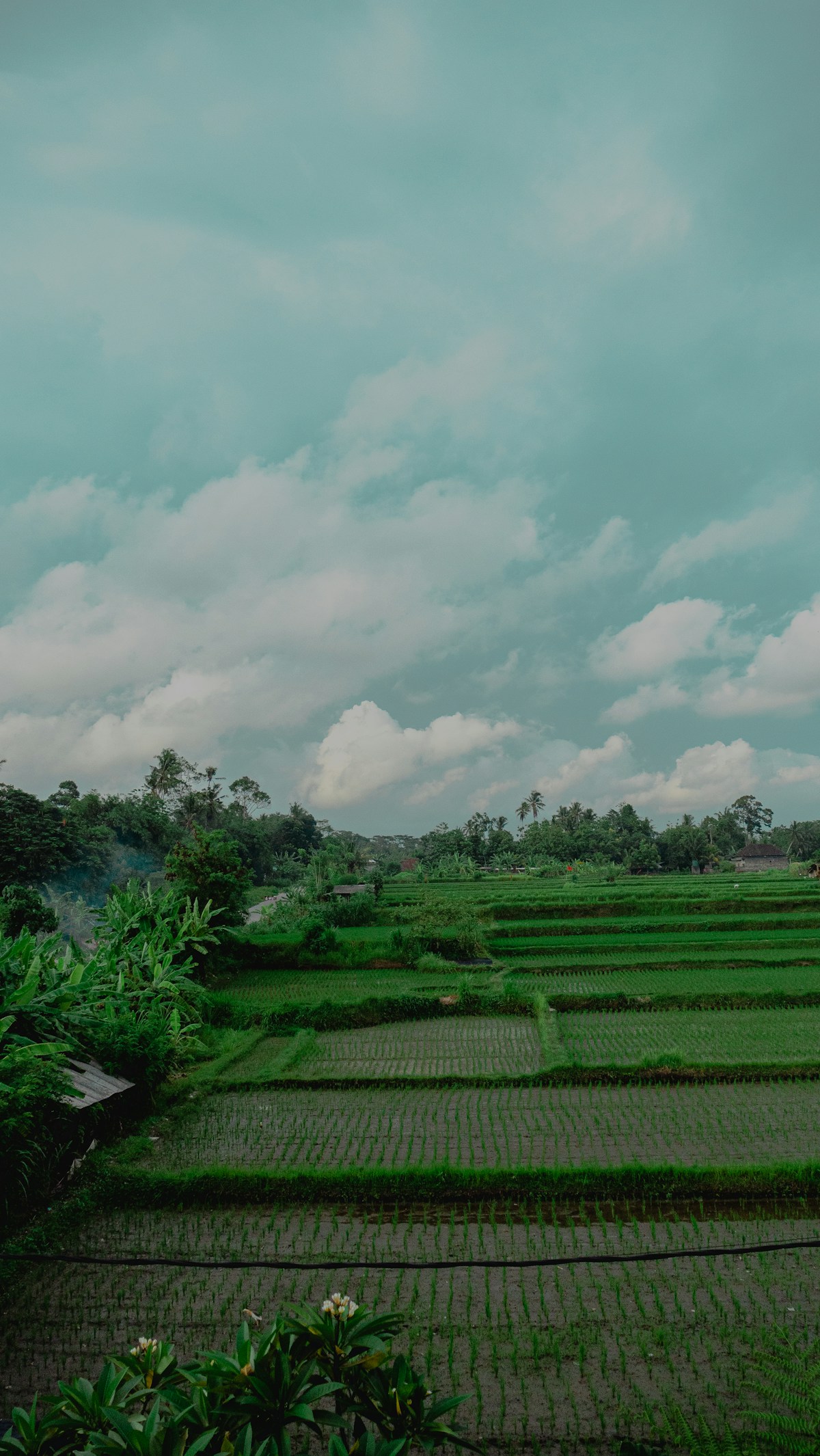
Ankara is not a hiking destination in the way that Antalya or Trabzon are — the Anatolian plateau around the capital is largely agricultural and steppe rather than dramatic mountain or coastal terrain. But within 1–2 hours of the city there are several genuine hiking environments: pine forest north of the city, lakeside trails within the urban periphery, the historical landscape around Gordion, and the canyon terrain near Beypazarı.
For anyone combining Ankara with a broader Turkey trip, the hiking near the capital is a supplement rather than a primary reason to visit. For capital-based nomads and residents, there are enough options to maintain a regular outdoor habit.
Eymir Lake (Eymir Gölü)
Distance from Ankara: 20km south of the city centre; accessible by public bus or dolmuş from Çayyolu.
Character: A reservoir-lake at the edge of the Middle East Technical University (ODTÜ) campus, surrounded by pine forest. The lake circuit is the most accessible and popular weekend walk from Ankara city.
Route: The main Eymir Lake circuit — 7–8km, flat, well-maintained gravel path around the lake perimeter. 2–3 hours. Good for families, casual walkers, running, cycling.
Difficulty: Easy — minimal elevation change, good path surface throughout.
Extensions: The ODTÜ campus (Orman) forested area north of Eymir has additional forest trails totalling 15–20km — unmarked but well-used. The pine forest here is genuinely atmospheric for a capital city peripheral.
Entry: ₺30–50 for the lake area on weekends (vehicle entry). Free entry on foot or by bicycle.
Best season: Year-round; spring (April–May) for wildflowers; autumn (October–November) for colour.
Kızılcahamam
Distance from Ankara: 80km north by bus (D750 road). Direct buses from Ankara (AŞTİ bus station), 1.5 hours, ₺60–100.
Character: A thermal spring town in pine-forested hills north of Ankara — Soğuksu National Park surrounds the town, with pine and juniper forest extending across the hills.
Day hiking in Soğuksu National Park:
Soğuksu Nature Trail: A marked forest trail starting from the national park entrance near the town — 5–8km circuits through pine forest, crossing small streams, with viewpoints over the forested valleys. Elevation gain: 200–400m depending on route choice. 2–4 hours. Easy to moderate.
Karagöl (Black Lake): A small crater lake in the forest above Kızılcahamam — 12–15km round trip from the town, 400m elevation gain, 4–6 hours. The lake itself is quiet and atmospheric; the forest trail is well-defined.
Thermal baths: Kızılcahamam has developed thermal facilities (kaplıca) — the combination of a forest day hike with a thermal soak is the standard local pattern. Entry to thermal facilities: ₺150–300 depending on facility.
Best season: May–June and September–October for the best forest conditions. Summer can be hot; winter trails are hikeable in dry conditions but can be muddy.
Gordion plateau walks
Distance from Ankara: 80km southwest via Polatlı. Bus to Polatlı (1 hour); taxi from Polatlı to Gordion (20km).
Character: The Gordion archaeological site and surrounding landscape — the Sakarya River plain, the Great Tumulus burial mound, and the low plateau hills stretching toward the Anatolian horizon. This is not dramatic mountain terrain; it is the open, sky-dominated landscape of the central Anatolian plateau, historically significant and visually distinctive.
Walking the tumulus field: The area around the Gordion site has 80+ burial tumuli of varying sizes — walking between them across the plateau is a quietly affecting experience, combining physical movement with proximity to 2,500 years of human burial history. The grass steppe between the mounds; the absence of roads or buildings in the mound field; the scale of the Great Tumulus above.
Distance and time: 5–10km depending on route; flat; 2–3 hours. No marked trail — explore freely.
Best combined with: The Gordion Museum and Great Tumulus visit (₺180 combined entry).
Beypazarı Canyon area
Distance from Ankara: 100km northwest. Bus from AŞTİ, 1.5–2 hours.
Character: Beypazarı is a well-preserved Ottoman town with characteristic carved stone buildings, known for its carrot production (havuç — Beypazarı carrots have their own GI designation) and more recently for canyon landscape accessible in the surrounding hills.
Beypazarı Canyon (Canavar Dağı area): The hills north of Beypazarı have limestone canyon terrain — not the scale of Cappadocia but dramatic enough for a solid half-day hike. Routes of 8–12km through the canyon; 300–500m elevation gain; 3–5 hours. Guides available locally (ask at the Beypazarı tourism office).
The Ottoman town: After any hiking, Beypazarı’s restored old quarter — Ottoman stone houses, traditional shops, the carrot confectionery (havuç şekeri) that the town is famous for — is worth an hour of wandering.
Karakaya Forest (north of Ankara)
Distance from Ankara: 50–60km north, via Çamlıdere.
Character: Mixed pine and oak forest on the hills north of Ankara. Less developed for hiking than Kızılcahamam but quieter and less visited.
Çamlıdere Reservoir: A large reservoir surrounded by forest accessible from Çamlıdere town. The forest roads and tracks around the reservoir provide 10–20km of walking in reasonable forest terrain. Car recommended to access the more remote sections.
Haymana Plateau
Distance from Ankara: 70km south.
Character: Open steppe plateau — the archetypal Anatolian plateau landscape, unbroken sky, wheat fields, villages, the occasional isolated hill. Not conventional hiking terrain but distinctive for its emptiness and light. Some thermal facilities in Haymana town.
Day hike summary from Ankara
| Route | Distance | Duration | Difficulty | Access |
|---|---|---|---|---|
| Eymir Lake circuit | 7–8km | 2–3 hrs | Easy | Bus/dolmuş (20km) |
| Soğuksu/Kızılcahamam | 5–12km | 2–5 hrs | Easy–moderate | Bus (80km) |
| Gordion plateau walk | 5–10km | 2–3 hrs | Easy | Bus + taxi (80km) |
| Karagöl lake hike | 12–15km | 4–6 hrs | Moderate | Bus + local taxi |
| Beypazarı canyon | 8–12km | 3–5 hrs | Moderate | Bus (100km) |
Practical notes
Best season: April–June and September–October for comfortable plateau hiking. Ankara’s summer (July–August) is hot (35–40°C) and dry; hiking is viable only in the early morning (before 09:00) or at altitude. Winter has cold winds on the plateau but clear days are hikeable with appropriate clothing.
Water: On the plateau, water sources are sparse. Carry everything needed — springs and streams are limited outside the forested areas north of the city.
Transport: A car significantly expands options for Ankara-area hiking. Public bus reaches Kızılcahamam and Beypazarı; Gordion requires a connecting taxi. Eymir is the most accessible by public transport.
What to expect: Ankara-area hiking is not the dramatic mountain terrain of the Taurus or the Kaçkar — it is plateau, forest, and archaeological landscape. The interest is often as much historical and cultural as it is purely physical. Pair hikes with the Gordion Museum, the Ottoman quarter at Beypazarı, or the thermal springs at Kızılcahamam for the best combined day trips.
Ready to explore?
Browse hundreds of tours and activities. Book securely with free cancellation on most options.
Browse on GetYourGuide →We may earn a small commission — at no extra cost to you.